Ha Giang Loop
Why Ride It
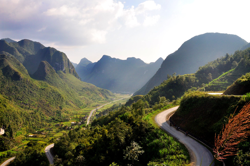
The Ha Giang Loop is one of Vietnam’s defining motorcycle adventures, winding through the remote mountains of northern Vietnam near the Chinese border. The route combines towering limestone karst formations, deep valleys, traditional mountain communities and a remarkable network of twisting roads. Unlike a single famous pass, the appeal lies in the constant succession of landscapes and riding challenges throughout the loop.
Leaving Hà Giang, the road quickly climbs into the mountains towards Quản Bạ and Yên Minh, with the landscape becoming increasingly dramatic as the route heads north. Long climbs, tight bends and narrow mountain roads create a rhythm that changes constantly, while the surrounding karst peaks make it difficult to focus on anything beyond the next corner and the landscape beyond it.
The most memorable riding comes around Đồng Văn and the legendary Ma Pi Leng Pass, where the road cuts dramatically through the limestone mountains above the Nho Quế River. Further south, the character changes again as the route heads towards Du Già, with quieter roads, forested mountains and remote valleys replacing the exposed high passes. For riders, that combination of technical riding, remoteness and cultural immersion is what makes the Ha Giang Loop so distinctive.
The Ha Giang Loop is not about reaching one particular summit. It is about the road between the mountains, the villages between the passes and everything that happens between the start and finish.
Ride The Line
Good To Know
Conditions in northern Vietnam can change quickly, particularly in the mountains, where rain, fog and low cloud can reduce visibility. Some sections are narrow and can have uneven surfaces, livestock, local traffic and occasional road works. The route is best approached with a relaxed pace and plenty of daylight, as distances can take considerably longer than expected on mountain roads. Fuel is available in the larger towns, but it is sensible to refuel whenever the opportunity arises before heading into more remote sections.
Picks
 Luggage
Waterproof Dry Bag
A durable roll-top dry bag designed to keep your gear protected from rain and water on the road. Lightweight and versatile, it’s…
View Product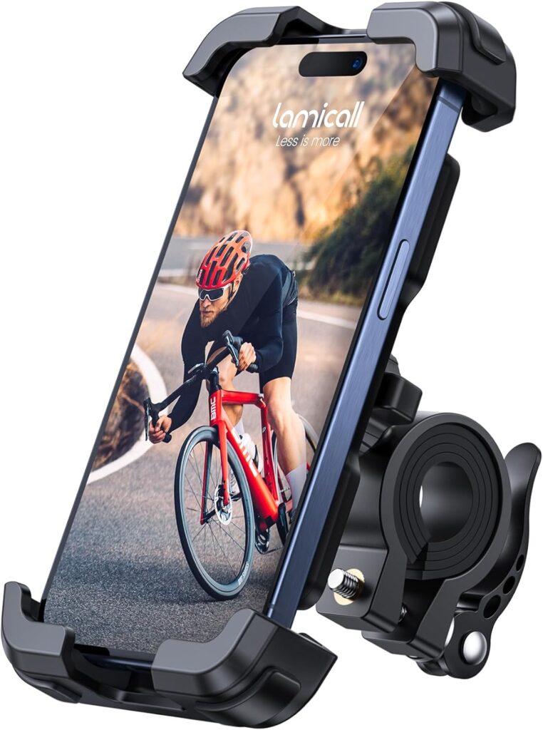 Navigation
Motorcycle Phone Mount
A sturdy and adjustable phone mount designed to keep your smartphone secure and accessible while riding. With a reliable handlebar grip and…
View Product Luggage
Motorcycle Magnetic Tank Bag
A compact and versatile magnetic tank bag designed to keep your essentials close at hand on the road. With durable Oxford fabric,…
View Product Riding Gear
Alpinestars Chrome v2 Sport Hoodie
The Alpinestars Chrome v2 Sport Hoodie combines casual streetwear style with motorcycle-ready protection. Its reinforced construction and integrated armor provide added protection,…
View ProductRoute Notes
The Ride Beyond route starts in Hà Giang and heads north along the QL4C towards Quản Bạ. The road climbs steadily out of the city and into the mountains, with increasingly frequent bends and elevated views as it approaches the famous Heaven Gate. From Quản Bạ, the route continues towards Yên Minh through a mixture of mountain roads, valleys and forested sections.
Beyond Yên Minh, the landscape becomes increasingly dramatic as the route approaches the Đồng Văn Plateau. The road passes through the spectacular Thẩm Mã Pass before reaching Đồng Văn, one of the main settlements on the northern section of the loop. From here, the route continues towards the defining section of the journey.
The road between Đồng Văn and Mèo Vạc crosses the legendary Ma Pi Leng Pass, following the Hạnh Phúc Road high above the Nho Quế River. This is the visual and riding highlight of the loop, with exposed mountain slopes, tight bends and enormous limestone cliffs surrounding the road. After Mèo Vạc, the route turns south towards Du Già, where the landscape becomes greener and the roads quieter before eventually returning to Hà Giang.
The Ha Giang Loop rewards riders who resist the temptation to rush. Give the mountains time, take the corners at your own pace and let the changing landscape become part of the ride.