Mae Hong Son Loop
Why Ride It
The Mae Hong Son Loop is one of Southeast Asia’s most celebrated motorcycle routes, winding through the mountains of northern Thailand between Chiang Mai, Mae Sariang, Mae Hong Son and Pai. With thousands of bends spread across the route, it is defined as much by the sheer rhythm of riding as by the landscapes surrounding it. Adding Doi Inthanon brings Thailand’s highest mountain into the journey and gives the loop another distinct high point.
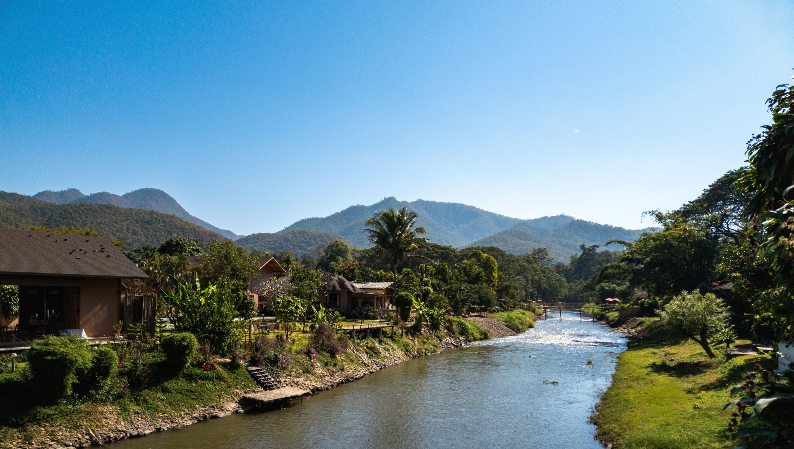
The riding constantly changes character as the route crosses the northern mountains. Long sequences of bends climb and descend through forest, with tighter corners appearing alongside flowing mountain sections. Doi Inthanon introduces higher-altitude riding and cooler conditions, while the roads towards Mae Hong Son become increasingly remote. Later, the approach to Pai brings another change, with winding roads cutting through dramatic limestone landscapes and steep valleys.
For a motorcyclist, the attraction is the continuity. Unlike a single mountain pass where the most demanding section lasts only a few kilometres, the Mae Hong Son Loop keeps delivering corners throughout the journey. The combination of technical riding, tropical scenery, mountain villages and long stretches away from major roads creates a genuine sense of exploration.
The Mae Hong Son Loop is less about reaching one particular destination and more about discovering what appears around the next bend. Here, the road itself is the attraction.
Ride The Line
Good To Know
Northern Thailand can be hot and humid at lower elevations, while temperatures can be considerably cooler around Doi Inthanon and other high mountain sections. The roads are generally paved, but surfaces, visibility and conditions can vary, particularly during or after heavy rain. Local traffic, scooters, livestock and occasional slow-moving vehicles are common, while the sheer number of bends demands concentration over long periods. Start with enough fuel for the more remote sections and avoid rushing the route simply to complete the loop in one day.
Picks
 Maintenance
Portable Tire Inflator
A compact and portable electric tire inflator that makes it easy to check and top up tire pressure on the go. Lightweight…
View Product Luggage
Motorcycle Magnetic Tank Bag
A compact and versatile magnetic tank bag designed to keep your essentials close at hand on the road. With durable Oxford fabric,…
View Product Riding Gear
Alpinestars Chrome v2 Sport Hoodie
The Alpinestars Chrome v2 Sport Hoodie combines casual streetwear style with motorcycle-ready protection. Its reinforced construction and integrated armor provide added protection,…
View Product Luggage
Waterproof Dry Bag
A durable roll-top dry bag designed to keep your gear protected from rain and water on the road. Lightweight and versatile, it’s…
View ProductRoute Notes
The Ride Beyond loop begins in Chiang Mai before heading south towards Doi Inthanon, Thailand’s highest mountain. The climb introduces the first major change in elevation and scenery, with forested mountain roads replacing the urban environment. From the highlands, the route continues towards Mae Chaem before turning west towards Mae Sariang.
The section from Mae Sariang towards Mae Hong Son is where the character of the loop really develops. The road winds continuously through forested mountains, passing small communities and increasingly remote stretches of northern Thailand. Mae Hong Son provides a natural midpoint before the route turns north towards Pang Mapha.
From Pang Mapha, the road continues through another exceptionally winding section before reaching Pai. The landscape becomes increasingly dramatic, with steep valleys, forested hills and limestone formations creating a distinctive final chapter to the loop. From Pai, the route turns back towards Chiang Mai, completing the circuit through the mountains.
The Mae Hong Son Loop rewards riders who treat the journey as the destination. Keep the pace comfortable, allow the road to dictate the rhythm and enjoy the changing landscape rather than focusing solely on the number of bends completed.