Route des Grandes Alpes
Why Ride It
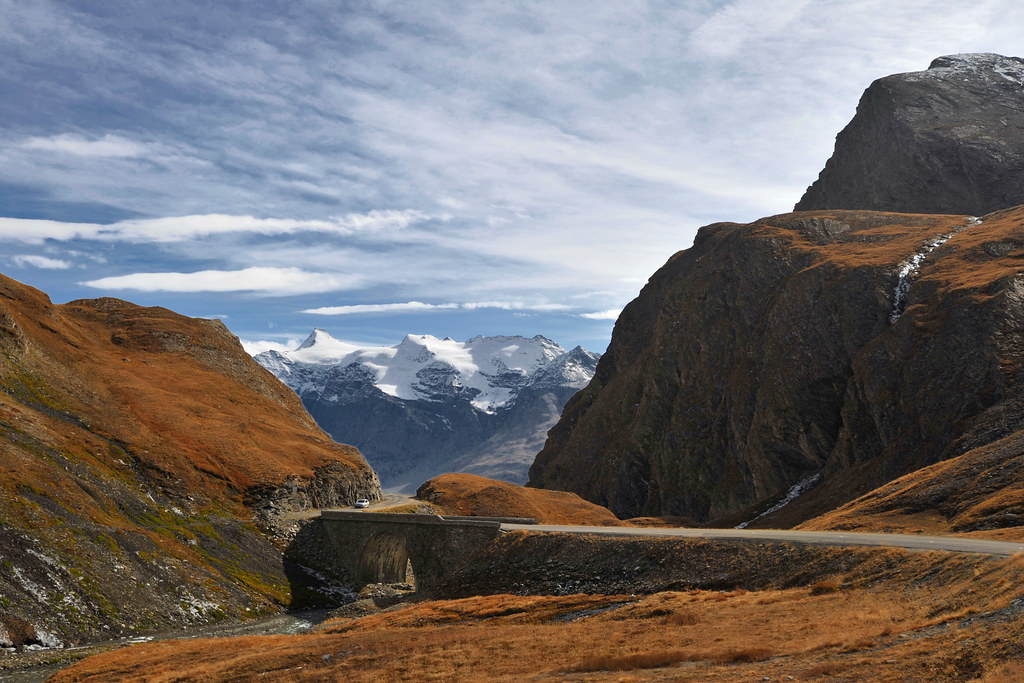
The Route des Grandes Alpes is one of Europe’s definitive motorcycle journeys, crossing the French Alps from Thonon-les-Bains on Lake Geneva to Menton on the Mediterranean coast. Rather than following one famous pass, the route links a remarkable succession of Alpine roads, including the Colombière, Iseran, Galibier, Izoard and Bonette. The result is one continuous journey through some of the most dramatic mountain terrain in France.
What makes the route special on a motorcycle is the constant change in rhythm and landscape. Fast flowing sections give way to tight hairpins, long climbs become exposed high-altitude traverses, and every major pass brings a different character. The road repeatedly climbs above the tree line before dropping back into green valleys, allowing the riding experience to evolve throughout the journey rather than settling into one predictable pattern.
For experienced riders, the appeal lies in the sheer variety. There are technical climbs that demand concentration, open sections where the road flows naturally through the mountains, and high passes where altitude and exposure become part of the experience. With so many major passes connected in a single route, the challenge is not one difficult section but maintaining your focus and rhythm across an entire Alpine crossing.
The Route des Grandes Alpes is best understood as a journey through the mountains rather than a collection of individual passes. Ride it for the corners, stay for the changing landscape, and let the road carry you from the Alps to the Mediterranean.
Ride The Line
Good To Know
The Route des Grandes Alpes is highly seasonal, with several of its highest passes typically opening only from late spring and closing again in autumn depending on snow conditions. Weather can change rapidly at altitude, and some sections can be busy during peak summer periods. Fuel and accommodation are available in the larger valleys and towns, but planning ahead is sensible on a route of this length. Allow considerably more time than the pure riding estimate if you want to stop at viewpoints and explore the major passes along the way.
Picks
 Riding Gear
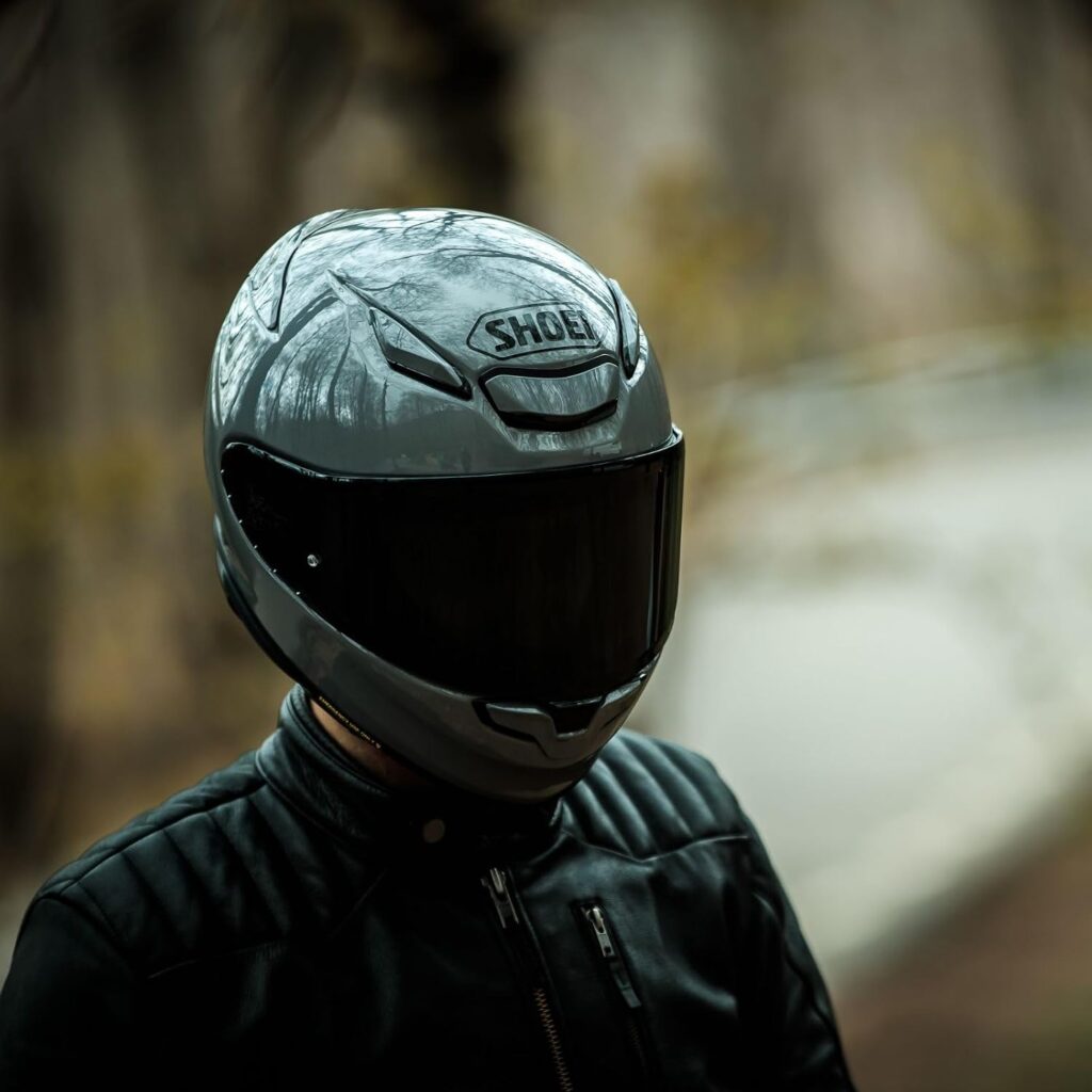
Shoei RF-1400 Motorcycle Helmet
The SHOEI RF-1400 is a premium full-face motorcycle helmet combining excellent protection, aerodynamic performance and long-distance comfort. Its lightweight shell, advanced ventilation…
View Product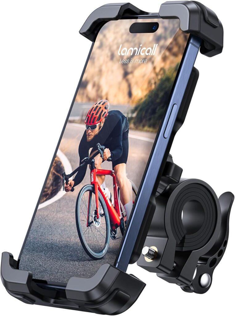 Navigation
Motorcycle Phone Mount
A sturdy and adjustable phone mount designed to keep your smartphone secure and accessible while riding. With a reliable handlebar grip and…
View Product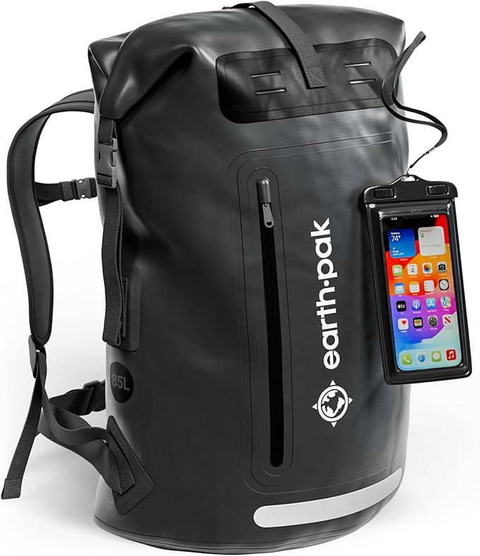 Luggage
Waterproof Dry Bag
A durable roll-top dry bag designed to keep your gear protected from rain and water on the road. Lightweight and versatile, it’s…
View Product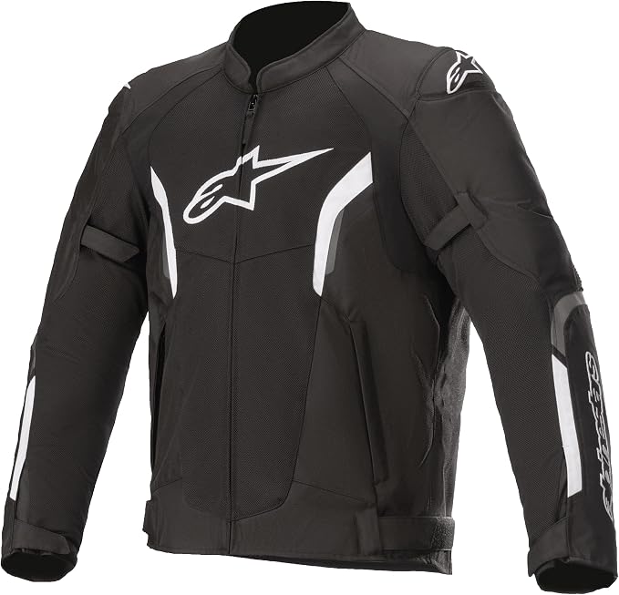 Riding Gear
Alpinestars T-SPS Air V2
The Alpinestars T-SPS Air V2 is a lightweight, highly ventilated motorcycle jacket designed for warm-weather riding. With durable construction, protective armor and…
View ProductRoute Notes
The Ride Beyond route begins in Thonon-les-Bains on the shores of Lake Geneva and heads south into the French Alps. The first section builds gradually through the mountains, passing over the Col des Gets, Col de la Colombière and Col des Aravis before reaching the higher Alpine terrain around the Saisies and Cormet de Roselend.
The route then enters some of its most dramatic high-altitude territory. After passing through Bourg-Saint-Maurice, the road climbs towards the Col de l’Iseran at 2,764 metres, the highest paved pass on the route. From there it continues through the Maurienne Valley before climbing again over the Télégraphe and Galibier, followed by the Col du Lautaret and the approach to Briançon.
South of Briançon, the character changes again as the route crosses the Col d’Izoard and continues towards Guillestre and Barcelonnette. From here, the road climbs towards the Col de la Bonette and its high-altitude summit loop before descending through Saint-Étienne-de-Tinée and the southern Alps. The final section passes through Guillaumes, Valberg and the dramatic valleys around the Mercantour before reaching Sospel and, finally, Menton on the Mediterranean coast.
This route rewards patience more than speed. Treat every pass as part of one larger journey, because the real achievement is not reaching one summit but experiencing the entire transition from the high Alps to the sea.