Cabot Trail
Why Ride It
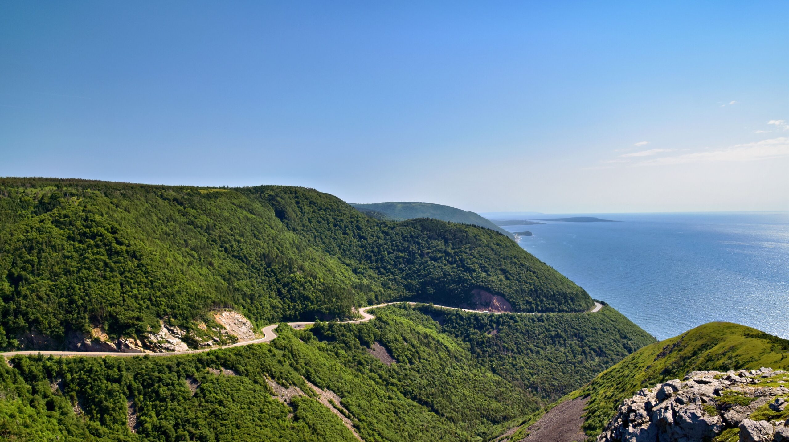
The Cabot Trail is one of Canada’s most celebrated motorcycle roads, tracing the coastline of Cape Breton Island through the rugged landscapes of Nova Scotia. The route combines ocean views, forested mountains, highland scenery and flowing roads into a compact loop that delivers remarkable variety without requiring a multi-day expedition.
The riding becomes particularly rewarding once the route enters Cape Breton Highlands National Park. The road rises and falls through the highlands with long sweeping corners, elevation changes and frequent changes in scenery. The coastline repeatedly appears between sections of forest, while the northern part of the loop around Ingonish and Cape North provides some of the route’s most dramatic riding.
What makes the Cabot Trail memorable is the balance between scenery and road. It is not an ultra-technical mountain route, but the combination of flowing corners, undulating terrain and relatively light traffic allows riders to settle into a natural rhythm. The optional detour to Meat Cove adds another layer, leading towards an exposed coastal viewpoint at the northern edge of Cape Breton.
Few routes pack such a diverse riding experience into a single loop. Ocean, mountains, forests and open road come together to make the Cabot Trail a defining motorcycle journey through eastern Canada.
Ride The Line
Good To Know
The Cabot Trail passes through remote sections where fuel and services are limited, so it is worth refuelling before entering the more isolated parts of Cape Breton Highlands National Park. Weather can change quickly, particularly in the highlands, with fog, rain and strong coastal winds possible even during summer. Wildlife, especially moose, can be active near the road, so extra caution is advisable around dawn and dusk. The optional road to Meat Cove can be narrower and rougher than the main Cabot Trail and should be treated accordingly.
Picks
 Maintenance
Tire Repair Kit
A heavy-duty 86-piece tire repair kit designed for quick and reliable tubeless puncture repairs on the road. Packed with essential tools and…
View Product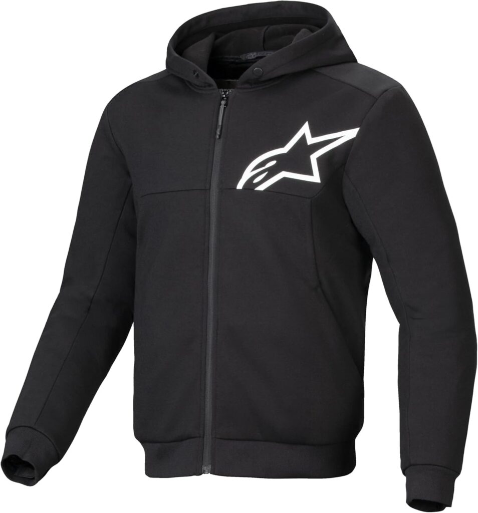 Riding Gear
Alpinestars Chrome v2 Sport Hoodie
The Alpinestars Chrome v2 Sport Hoodie combines casual streetwear style with motorcycle-ready protection. Its reinforced construction and integrated armor provide added protection,…
View Product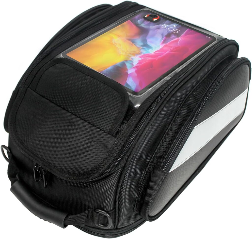 Luggage
Motorcycle Magnetic Tank Bag
A compact and versatile magnetic tank bag designed to keep your essentials close at hand on the road. With durable Oxford fabric,…
View Product Communication
Cardo Motorcycle Communication System
A compact motorcycle Bluetooth headset designed for clear rider-to-rider communication and hands-free connectivity on the road. With 32mm speakers, universal connectivity and…
View ProductRoute Notes
The Ride Beyond route begins in Baddeck, heading north onto the Cabot Trail and quickly leaving the settled areas behind as the road enters Cape Breton Highlands National Park. The landscape becomes increasingly forested and mountainous, with the road beginning to climb and the Atlantic appearing between the trees and highland ridges.
After passing Ingonish, the route continues towards Cape North, reaching the northern section of the loop where the optional detour to Meat Cove provides one of the journey’s most spectacular coastal viewpoints. The road here feels increasingly remote, with open landscapes and dramatic views towards the Atlantic.
Returning to the Cabot Trail, the route turns south and west through Pleasant Bay and Cheticamp, following the western coastline. The character gradually changes as the route leaves the highlands behind and enters the Margaree Valley, where flowing roads, forests and open countryside replace the exposed coastal scenery.
The final section follows the valley back towards Baddeck, completing the loop. The route works best as a continuous ride, allowing the landscape to evolve naturally from ocean and highlands to forest and valley. The Cabot Trail is not about one single corner or viewpoint — it is the rhythm of the entire loop that makes the ride memorable.