Col du Tourmalet
Why Ride It
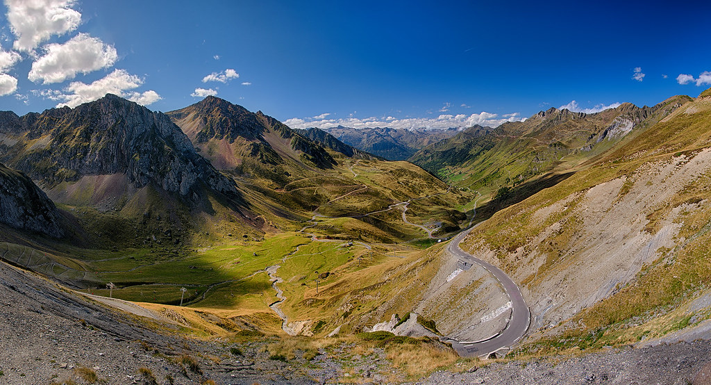
The Col du Tourmalet is one of the defining roads of the French Pyrenees and one of the most famous mountain passes in cycling. For motorcycle riders, however, the appeal goes well beyond its Tour de France history. The road climbs to 2,115 metres between Luz-Saint-Sauveur and Sainte-Marie-de-Campan, combining a sustained mountain climb with sweeping bends, tighter corners and wide-open views across the surrounding peaks.
From the western side, the road gradually gains altitude through the valley before becoming more exposed above the tree line. The character of the riding changes as the gradient increases, with a succession of bends leading towards the summit. On the eastern side, the road descends through La Mongie before opening into the valley towards Sainte-Marie-de-Campan, creating a natural contrast between the exposed upper mountain and the more sheltered lower sections.
For riders, the Tourmalet delivers a rewarding combination of rhythm, elevation and scenery. It is technical enough to demand attention without becoming dominated by tight hairpins, allowing you to carry a natural flow through much of the climb. Its history adds another layer to the experience, but the road itself is what makes the crossing memorable.
The Tourmalet is more than a famous name on a road sign. It is a proper mountain crossing where the riding, the altitude and the landscape come together. Take your time on the climb and let the Pyrenees set the pace.
Ride The Line
Good To Know
The Col du Tourmalet is a high-altitude seasonal pass and can be closed outside the main riding season because of snow and winter conditions. Weather can change quickly near the summit, while summer brings a mixture of motorcycles, cars, cyclists and organised cycling events. Traffic can therefore be noticeably heavier around the pass and during popular periods. Check current road conditions and any event-related restrictions before riding, particularly during the summer cycling season.
Picks
 Maintenance
Tire Repair Kit
A heavy-duty 86-piece tire repair kit designed for quick and reliable tubeless puncture repairs on the road. Packed with essential tools and…
View Product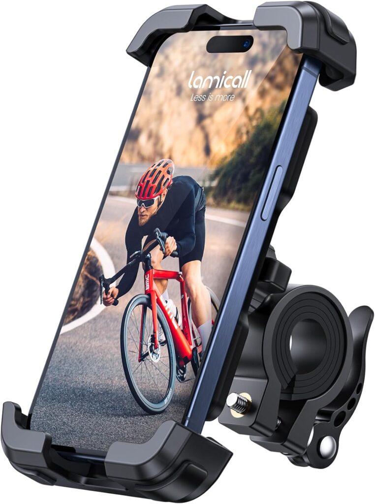 Navigation
Motorcycle Phone Mount
A sturdy and adjustable phone mount designed to keep your smartphone secure and accessible while riding. With a reliable handlebar grip and…
View Product Luggage
Motorcycle Magnetic Tank Bag
A compact and versatile magnetic tank bag designed to keep your essentials close at hand on the road. With durable Oxford fabric,…
View Product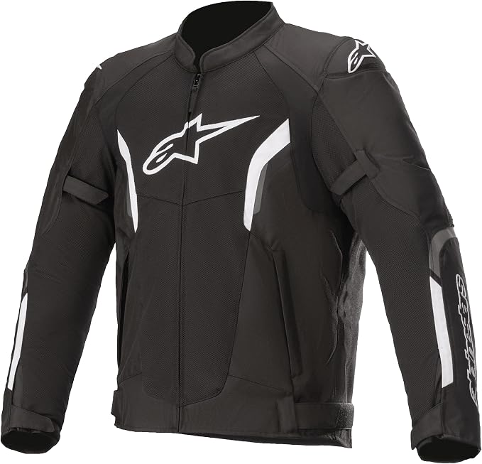 Riding Gear
Alpinestars T-SPS Air V2
The Alpinestars T-SPS Air V2 is a lightweight, highly ventilated motorcycle jacket designed for warm-weather riding. With durable construction, protective armor and…
View ProductRoute Notes
The Ride Beyond route begins in Luz-Saint-Sauveur on the western side of the pass and follows the D918 towards Barèges. The road climbs progressively through the valley, with the surrounding mountains becoming more prominent as the route gains altitude. The gradient increases gradually, allowing the climb to build naturally rather than arriving at the technical section immediately.
Beyond Barèges, the landscape becomes increasingly open as the road approaches the high mountain section. A succession of sweeping bends and tighter corners leads towards the summit, with the final kilometres providing expansive views across the surrounding Pyrenean peaks. At 2,115 metres, the Col du Tourmalet marks the highest point of the crossing.
From the summit, the route descends towards La Mongie before continuing through the valley towards Sainte-Marie-de-Campan. The eastern side feels more open and flowing in places, with the road gradually losing altitude as the high mountain landscape gives way to greener surroundings.
The Tourmalet rewards riders who treat the climb as part of the experience rather than simply chasing the summit. Follow the rhythm of the road, look beyond the next corner and enjoy one of the Pyrenees’ great mountain crossings.