Izu Skyline
Why Ride It
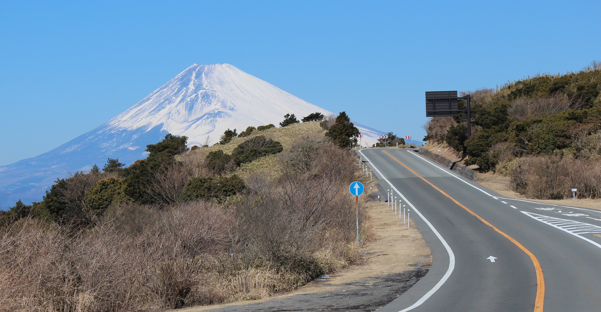
The Izu Skyline is less about dramatic mountain passes and more about rhythm. From Atami Pass, the road follows the high eastern ridge of the Izu Peninsula for 40.6 kilometres, linking a succession of flowing bends, wooded sections and open viewpoints. There are no towns or traffic lights along the Skyline itself, giving the ride a remarkably uninterrupted character.
The road’s elevation stays relatively modest compared with Europe’s major alpine passes, but that is part of its appeal. Near Kurotake, the Skyline reaches its highest road elevation at 720 metres, while viewpoints along the ridge open towards Sagami Bay, Suruga Bay and, on clear days, Mount Fuji.
For riders, the defining feature is the consistency of the corners. The road is wide, well surfaced and built around flowing bends rather than tight hairpin sequences, making it a route where you can settle into a rhythm and enjoy the bike without constantly braking for extreme changes in direction.
Izu Skyline is a different kind of Japanese riding experience: polished, fast-flowing and scenic rather than remote or technically punishing. Ride it for the rhythm, stay alert for other riders and traffic, and take advantage of the viewpoints when Fuji appears through the haze.
Ride The Line
Good To Know
Izu Skyline is a toll road and runs from Atami Pass to Amagi Kogen. The complete route is 40.6 km and takes roughly one hour of pure riding. The current toll structure is divided into three sections, with motorcycles charged ¥350 from Atami Pass to Kameishi Pass, ¥350 from Kameishi Pass to Hiekawa and ¥200 from Hiekawa to Amagi Kogen. The road is generally open from 06:00 to 22:00, and payment is available by cash or ETCX; ordinary ETC is not accepted.
Picks
 Maintenance
Tire Repair Kit
A heavy-duty 86-piece tire repair kit designed for quick and reliable tubeless puncture repairs on the road. Packed with essential tools and…
View Product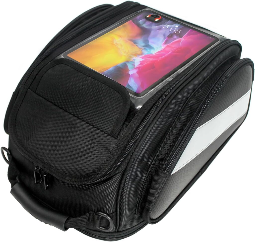 Luggage
Motorcycle Magnetic Tank Bag
A compact and versatile magnetic tank bag designed to keep your essentials close at hand on the road. With durable Oxford fabric,…
View Product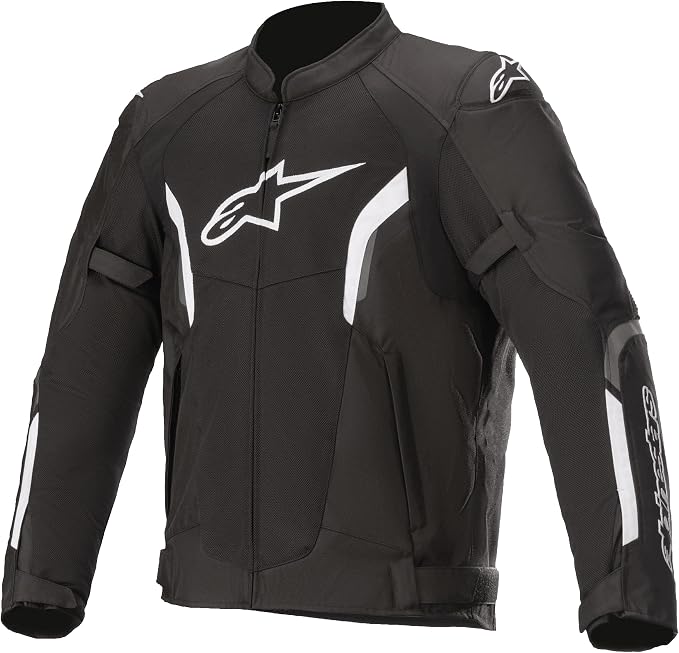 Riding Gear
Alpinestars T-SPS Air V2
The Alpinestars T-SPS Air V2 is a lightweight, highly ventilated motorcycle jacket designed for warm-weather riding. With durable construction, protective armor and…
View Product Communication
Cardo Motorcycle Communication System
A compact motorcycle Bluetooth headset designed for clear rider-to-rider communication and hands-free connectivity on the road. With 32mm speakers, universal connectivity and…
View ProductRoute Notes
The Ride Beyond route begins at Atami Pass, the official northern entrance to the Izu Skyline. From here, the road immediately settles onto the ridge and heads south through the mountainous interior of the Izu Peninsula. The first section includes viewpoints such as Takichiyama and the Kurotake area, where the road reaches its highest elevation of 720 metres.
Continuing south, the Skyline passes the former Kurotake, Nirayama, Yamabushi and Kameishi sections before reaching the central part of the route. Kameishi Pass sits roughly halfway along the Skyline, while viewpoints and parking areas such as Sukumo-yama provide opportunities to break up the ride without leaving the route.
The final section runs through the southern Izu mountains towards Hiekawa and eventually Amagi Kogen, where the official Izu Skyline ends after 40.6 km. From here the road network continues towards Izu Kogen and the east coast, but that continuation is outside the Ride Beyond Izu Skyline route.
For Ride Beyond, this is a route to ride for its flow rather than its extremes. It doesn’t have Stelvio’s altitude or hairpin intensity, but its combination of continuous corners, good road surface and ridge-top scenery makes it one of Japan’s most enjoyable dedicated motorcycle roads.