Trail Ridge Road
Why Ride It
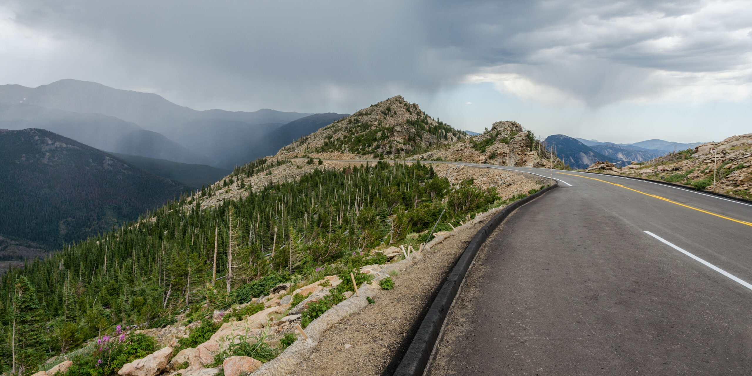
Trail Ridge Road is one of America’s defining high-altitude motorcycle roads, crossing Rocky Mountain National Park between Estes Park and Grand Lake. The road climbs from the forests of Colorado’s eastern slopes to 3,713 metres, with more than 11 miles spent above the treeline. At its highest point, the landscape is no longer defined by forests or valleys, but by open alpine tundra and enormous mountain horizons.
The ride begins relatively gently, winding through dense forest as US-34 climbs into the park. The higher you go, the more dramatic the transformation becomes. Trees gradually disappear, the road opens onto exposed mountainsides and the bends become sweeping rather than tightly technical. Above the treeline, even moderate corners feel significant because of the scale and exposure surrounding the road.
What makes Trail Ridge Road particularly memorable is the altitude. Few paved motorcycle roads allow you to ride continuously from a mountain town into true alpine terrain at more than 3,500 metres. Weather, temperature and visibility can change rapidly, while the lack of trees creates an extraordinary sense of openness. The riding itself is not as technically demanding as Stelvio, but the environment demands attention.
Trail Ridge Road is less about conquering corners and more about reaching a place where the road seems to disappear into the mountains. It is a high-altitude ride in the truest sense.
Ride The Line
Good To Know
Trail Ridge Road is highly seasonal and normally opens only during the warmer months, with snow and winter conditions making the crossing impossible for much of the year. Weather can change rapidly above the treeline, even when conditions are warm in Estes Park or Grand Lake. Traffic can also be moderate during peak summer periods, particularly around viewpoints and the Alpine Visitor Center. Check current National Park Service conditions before setting out, and allow extra time for altitude, weather and scenic stops.
Picks
 Maintenance
Portable Tire Inflator
A compact and portable electric tire inflator that makes it easy to check and top up tire pressure on the go. Lightweight…
View Product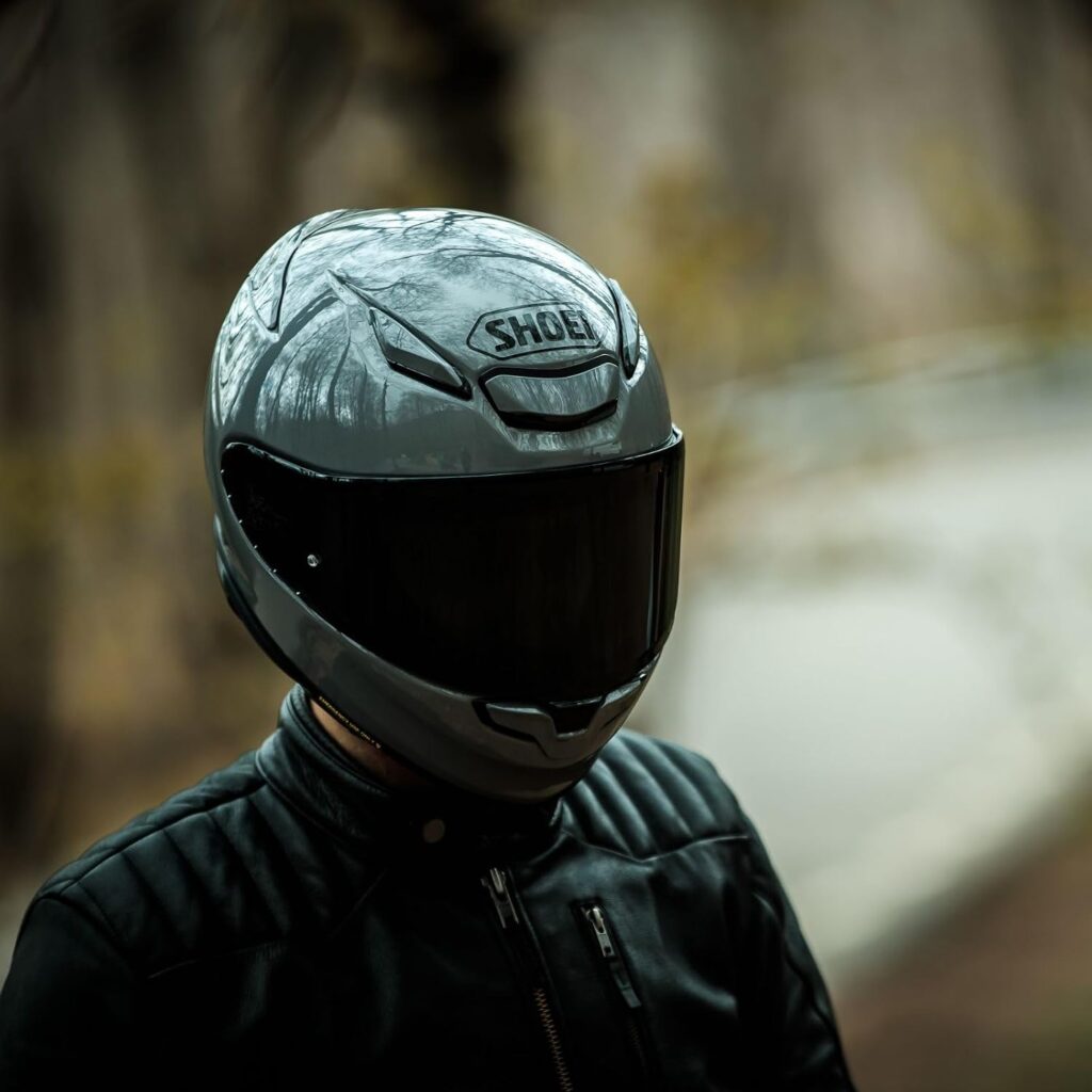 Riding Gear
Shoei RF-1400 Motorcycle Helmet
The SHOEI RF-1400 is a premium full-face motorcycle helmet combining excellent protection, aerodynamic performance and long-distance comfort. Its lightweight shell, advanced ventilation…
View Product Navigation
Motorcycle Phone Mount
A sturdy and adjustable phone mount designed to keep your smartphone secure and accessible while riding. With a reliable handlebar grip and…
View Product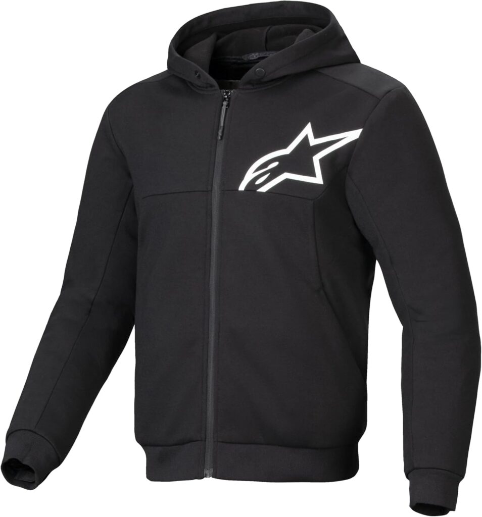 Riding Gear
Alpinestars Chrome v2 Sport Hoodie
The Alpinestars Chrome v2 Sport Hoodie combines casual streetwear style with motorcycle-ready protection. Its reinforced construction and integrated armor provide added protection,…
View ProductRoute Notes
The Ride Beyond route begins in Estes Park and follows US-34 into Rocky Mountain National Park. The road initially climbs through dense pine and spruce forest, passing a series of viewpoints as it gradually gains elevation. The landscape becomes increasingly open as the route approaches the higher sections of the park.
The defining section begins as Trail Ridge Road breaks above the treeline. From here, the road crosses vast alpine tundra with sweeping views across the Rocky Mountains. The route passes the Alpine Visitor Center and continues towards the Continental Divide at Milner Pass before climbing towards its highest terrain at 3,713 metres.
After reaching the high point, US-34 begins its descent towards the western side of Rocky Mountain National Park. The landscape changes again as alpine terrain gives way to lower vegetation and the Kawuneeche Valley, with the road eventually reaching Grand Lake at the western end of the crossing.
Trail Ridge Road should be ridden as a complete transition from forest to alpine wilderness. The higher you climb, the less the road becomes the focus; at 3,700 metres, the mountains take over.