Transalpina
Why Ride It
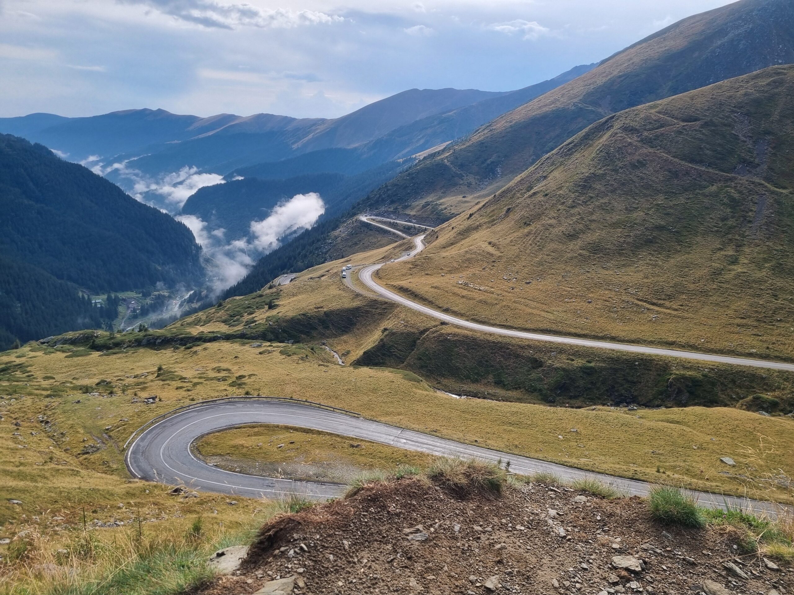
The Transalpina is one of Romania’s great mountain roads, crossing the Parâng Mountains at elevations rarely reached by paved roads in the country. The route climbs deep into the Carpathians, eventually reaching 2,145 m before continuing through a vast landscape of open mountain slopes and high alpine scenery.
Unlike the more enclosed Transfăgărășan, the Transalpina spends much of its highest section above the tree line. The road feels open and exposed, with long views stretching across the surrounding mountains and very little development interrupting the landscape. The sense of space is one of the route’s defining characteristics.
For riders, the Transalpina offers a different kind of mountain experience. The road is generally smoother and more flowing than the Transfăgărășan, allowing you to carry a natural rhythm through long sequences of bends. The combination of elevation, relatively light traffic and uninterrupted scenery makes it particularly rewarding on two wheels.
The Transalpina is not about conquering the mountain. It is about disappearing into it.
Ride The Line
Good To Know
The Transalpina reaches significant elevation and has a relatively short riding season. Weather can change quickly in the higher sections, with temperatures dropping sharply and cloud or rain appearing even during summer. The road can also be affected by seasonal closures or temporary restrictions, so check current conditions before setting out. Fuel and services become increasingly limited as you move into the more remote mountain sections.
Picks
 Navigation
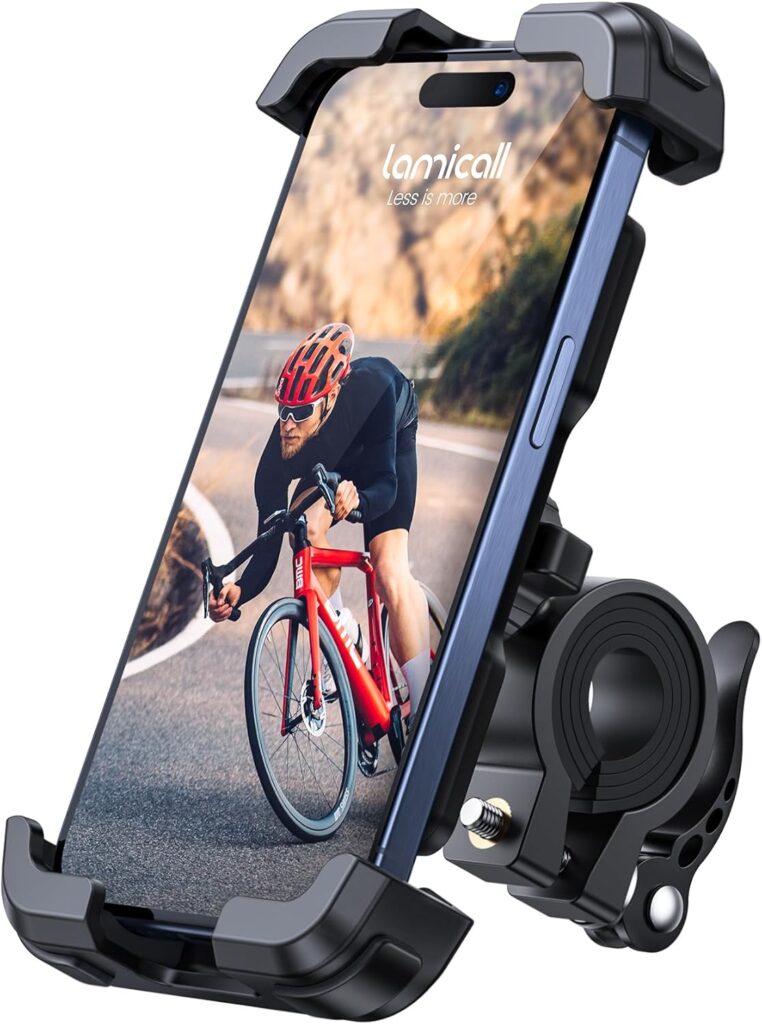
Motorcycle Phone Mount
A sturdy and adjustable phone mount designed to keep your smartphone secure and accessible while riding. With a reliable handlebar grip and…
View Product Maintenance
Tire Repair Kit
A heavy-duty 86-piece tire repair kit designed for quick and reliable tubeless puncture repairs on the road. Packed with essential tools and…
View Product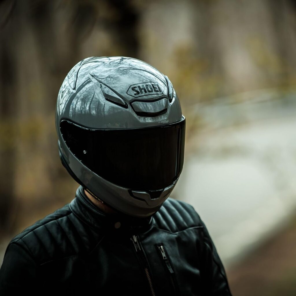 Riding Gear
Shoei RF-1400 Motorcycle Helmet
The SHOEI RF-1400 is a premium full-face motorcycle helmet combining excellent protection, aerodynamic performance and long-distance comfort. Its lightweight shell, advanced ventilation…
View Product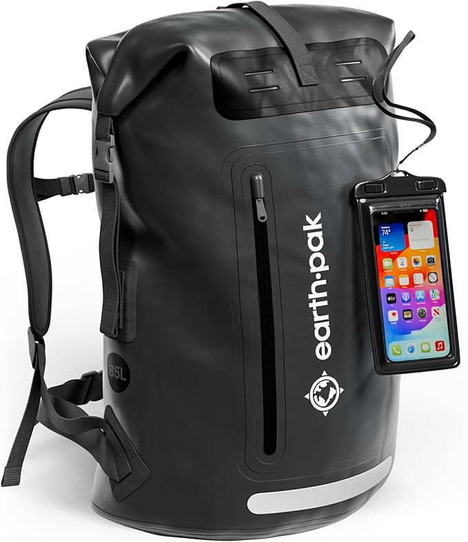 Luggage
Waterproof Dry Bag
A durable roll-top dry bag designed to keep your gear protected from rain and water on the road. Lightweight and versatile, it’s…
View ProductRoute Notes
The Ride Beyond route follows the Transalpina through the Parâng Mountains, gradually climbing from the lower valleys towards the high mountain section. The landscape changes from forested slopes to increasingly open terrain as the route gains elevation.
The highest section is the defining part of the ride. Around 2,145 m, the road crosses the high mountain landscape with sweeping views in almost every direction. Long flowing bends alternate with tighter corners as the route follows the contours of the mountains.
From the high point, the road continues through the Carpathians before descending towards the lower valleys. Compared with the Transfăgărășan, the experience is more open and flowing, with the landscape often feeling bigger than the road itself.
Find the high road. Follow the horizon. Keep riding.