Tail of the Dragon
Why Ride It
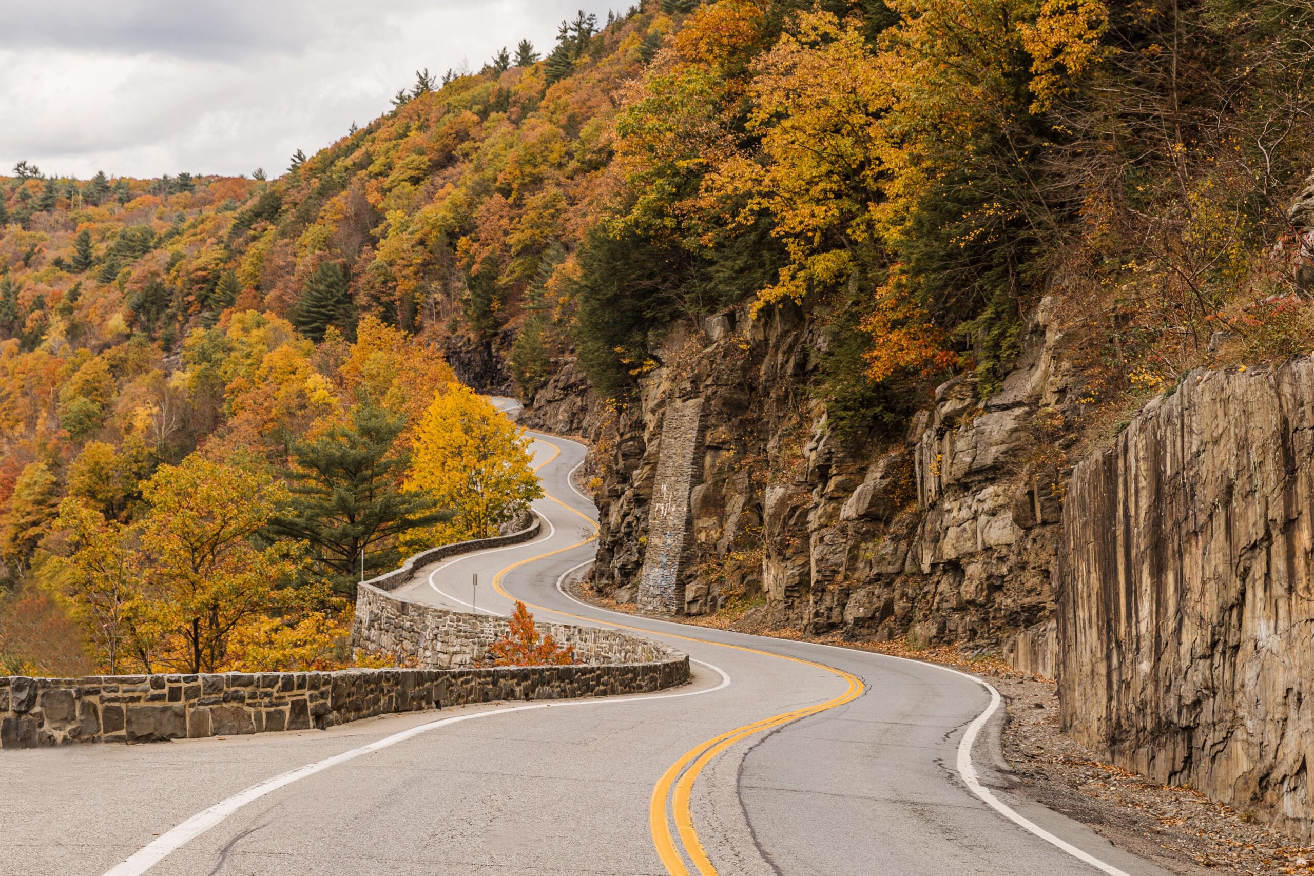
Tail of the Dragon is not a road you ride for the scenery alone. Stretching for 11 miles along US 129 between Tennessee and North Carolina, it packs an extraordinary 318 corners into a short section of mountain road. The result is one of America’s most famous motorcycle roads and a pure test of rhythm, concentration and cornering.
There is almost no time to settle into a straight-line rhythm. One corner leads into the next, with the road constantly changing direction through dense forest and rolling mountain terrain. The sequence of bends is what defines the experience, demanding smooth inputs and careful attention to your line rather than outright speed.
For riders, the appeal is simple: this is about the corners. Unlike a long Alpine pass where the landscape gradually changes as you climb, the Dragon compresses the riding experience into one intense stretch of road. Every bend asks another question, and the best runs come from finding a rhythm rather than trying to conquer the road.
Eleven miles. 318 corners. No wasted road.
Ride The Line
Good To Know
Tail of the Dragon is a technically demanding road with limited sightlines and very little room for mistakes. The route is popular with motorcycles and performance cars, so traffic can include riders travelling at very different speeds. Stay within your limits, never cross the centre line and expect slower traffic around blind corners. The surrounding area can also experience changing weather, particularly in the mountains. Check current road conditions before riding.
Picks
 Maintenance
Portable Tire Inflator
A compact and portable electric tire inflator that makes it easy to check and top up tire pressure on the go. Lightweight…
View Product Riding Gear
Shoei RF-1400 Motorcycle Helmet
The SHOEI RF-1400 is a premium full-face motorcycle helmet combining excellent protection, aerodynamic performance and long-distance comfort. Its lightweight shell, advanced ventilation…
View Product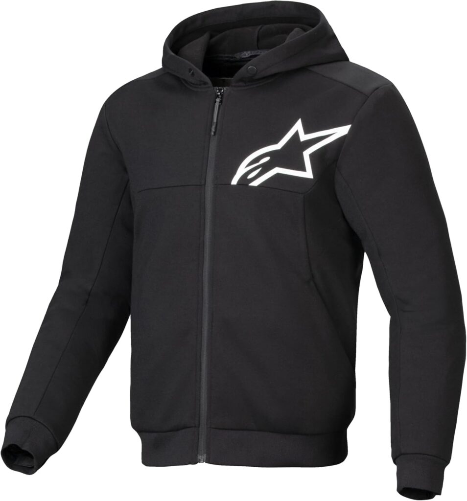 Riding Gear
Alpinestars Chrome v2 Sport Hoodie
The Alpinestars Chrome v2 Sport Hoodie combines casual streetwear style with motorcycle-ready protection. Its reinforced construction and integrated armor provide added protection,…
View Product Luggage
Waterproof Dry Bag
A durable roll-top dry bag designed to keep your gear protected from rain and water on the road. Lightweight and versatile, it’s…
View ProductRoute Notes
The Ride Beyond route begins in the south and follows US 129 north through the section known as the Tail of the Dragon. The road immediately begins twisting through the forest, with the first sequence of corners establishing the relentless rhythm that defines the route.
From there, the road continues through an almost continuous succession of bends. There are few opportunities to relax between corners, and the combination of blind turns, elevation changes and limited sightlines makes smooth positioning and anticipation essential.
As the route approaches the northern end of the Dragon, the corners gradually become less concentrated and the road begins to open towards the surrounding mountain roads. The main attraction, however, remains the central 11-mile section where the famous 318 corners are packed together.
Don’t chase the number. Chase the rhythm.