Utah Scenic Byway 12
Why Ride It
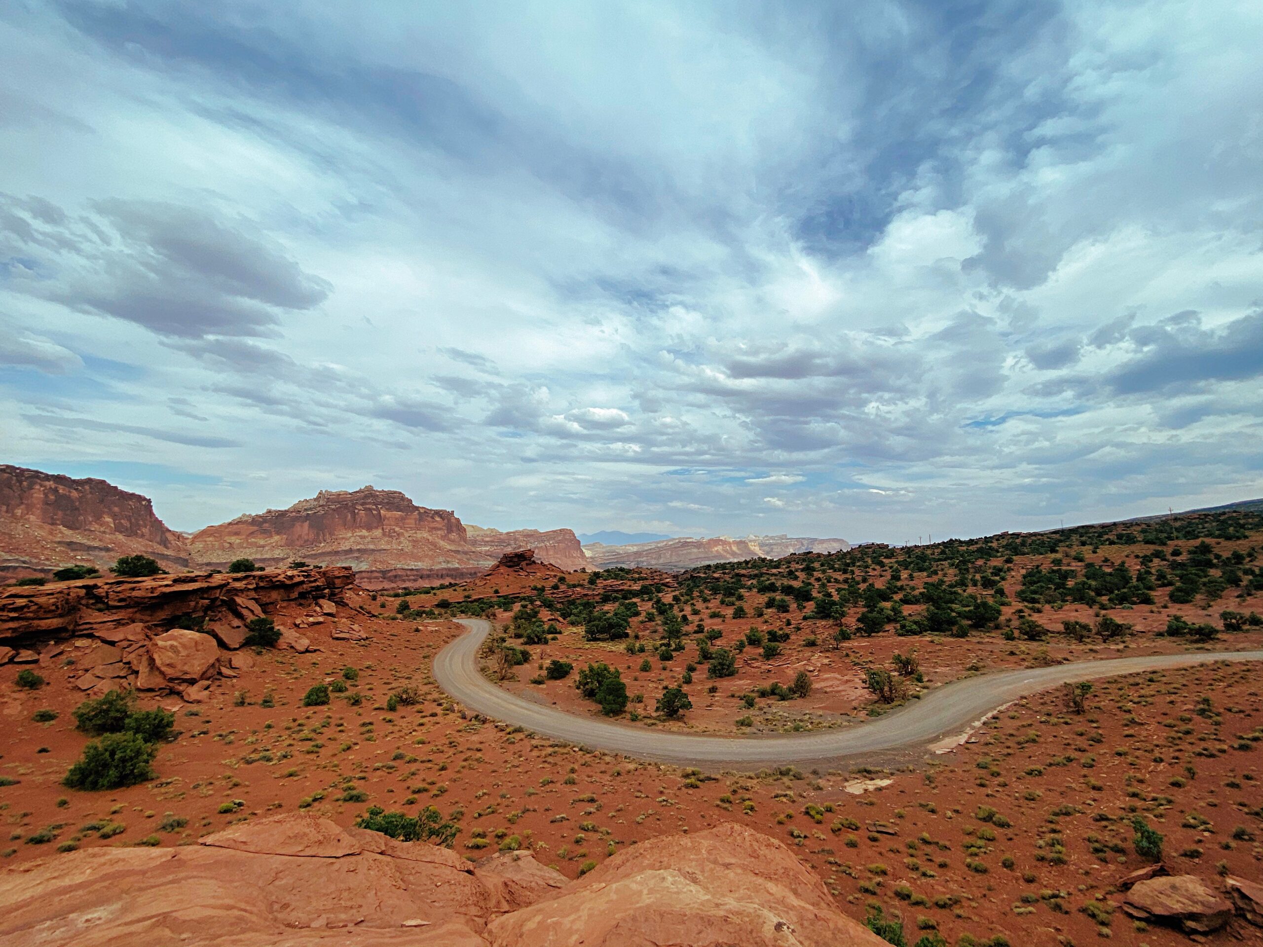
Utah Scenic Byway 12 is less about a single mountain pass or a famous collection of hairpins and more about the sheer variety packed into one road. Stretching for roughly 198 kilometres between Panguitch and Torrey, it crosses some of southern Utah’s most dramatic terrain and has earned All-American Road status for the uniqueness of the landscape it connects.
From the saddle, the scenery changes constantly. Red-rock formations and open desert give way to twisting canyon roads before the route reaches the Hogsback, where the pavement follows a narrow ridge above the surrounding canyon country. Further east, the road climbs into the forests of Boulder Mountain, creating a remarkable contrast between Utah’s arid sandstone landscapes and its high alpine terrain.
For a motorcyclist, that changing environment is what makes Highway 12 so rewarding. The road combines flowing bends, elevation changes, exposed sections and long stretches where the landscape dominates the horizon. It isn’t relentlessly technical, but the variety keeps the ride engaging from beginning to end, with the Hogsback and Boulder Mountain providing two very different highlights.
Few roads change character so dramatically without ever losing their sense of remoteness. Utah Scenic Byway 12 is the kind of road where the landscape becomes part of the ride itself.
Ride The Line
Good To Know
Scenic Byway 12 is generally open year-round, but winter weather can make the higher Boulder Mountain section icy or temporarily impassable after major storms. The route reaches more than 2,700 metres, so conditions can change quickly compared with the desert sections below. Fuel and basic services are available in places including Panguitch, the Bryce Canyon area, Escalante, Boulder and Torrey, but riders should still start the route prepared, particularly when travelling outside the busier summer period.
Picks
 Riding Gear
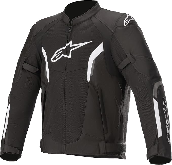
Alpinestars T-SPS Air V2
The Alpinestars T-SPS Air V2 is a lightweight, highly ventilated motorcycle jacket designed for warm-weather riding. With durable construction, protective armor and…
View Product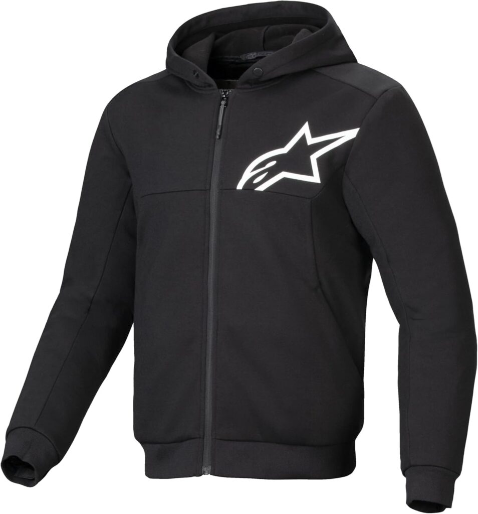 Riding Gear
Alpinestars Chrome v2 Sport Hoodie
The Alpinestars Chrome v2 Sport Hoodie combines casual streetwear style with motorcycle-ready protection. Its reinforced construction and integrated armor provide added protection,…
View Product Maintenance
Tire Repair Kit
A heavy-duty 86-piece tire repair kit designed for quick and reliable tubeless puncture repairs on the road. Packed with essential tools and…
View Product Communication
Cardo Motorcycle Communication System
A compact motorcycle Bluetooth headset designed for clear rider-to-rider communication and hands-free connectivity on the road. With 32mm speakers, universal connectivity and…
View ProductRoute Notes
The Ride Beyond route begins in Panguitch, where Utah State Route 12 leaves US-89 and heads east towards Red Canyon. The road quickly develops into a flowing two-lane mountain route, passing through the red-rock landscape around Bryce Canyon Country before continuing towards Cannonville and the vast terrain of Grand Staircase–Escalante.
From Escalante, the character of the ride becomes even more distinctive. The road crosses increasingly rugged canyon country before reaching the famous Hogsback between Escalante and Boulder. Here, SR-12 follows a narrow paved ridge with steep drops into the surrounding canyons, creating one of the route’s most memorable riding sections.
After Boulder, the route changes again as it climbs into the forests of Boulder Mountain. The road rises above 2,700 metres before gradually descending towards Torrey, with expansive views across the Waterpocket Fold, Capitol Reef and the surrounding desert landscape. The contrast between high mountain forest and red-rock country is one of the defining features of the entire route.
Ride Beyond’s version follows the complete Scenic Byway from Panguitch to Torrey. Don’t rush the transitions between landscapes; on Highway 12, the changing terrain is as much a part of the ride as the road itself.